Galleon 2026Download our mobile shopping application for faster and easy transaction.
Product ID:
134103
Identifier:
1566952409
Brand:
National Geographic
Model:
Shipping Weight:
0.21 lbs
Manufacturer:
Natl Geographic Society Maps
Shipping Dimension:
9.13 x 4.25 x 0.28 inches
₱1,434
₱1,290
+ ₱ 150
Shipping Cost from USA to Philippines inclusive of custom fees.
Cost too high? Check weight and dimension on product details and click "I think this is wrong?" link.
Get it between 2026-06-04 to 2026-06-11.
Additional 3 business days for provincial shipping.
- Price and Stocks may change without prior notice
- Packaging of actual item may differ from photo shown
Cash upon Pick-up - orders grand total must not exceed ₱5,000.00. Order will be pickup at Galleon's Office.
Cash on Delivery - orders grand total must not exceed of ₱10,000.00 and must not exceed ₱5,000.00 for provincial areas. See all payment methods
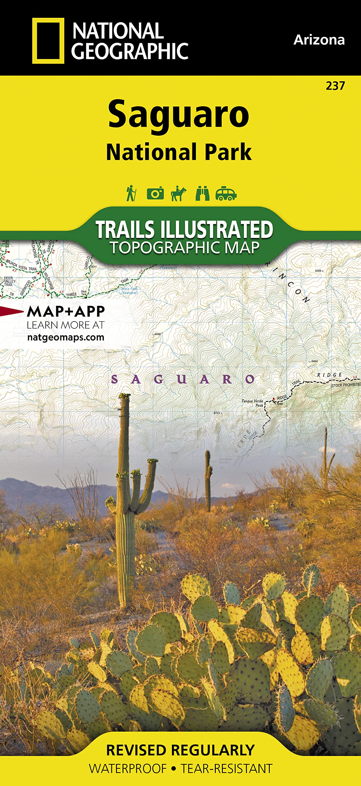
Author: National Geographic Maps
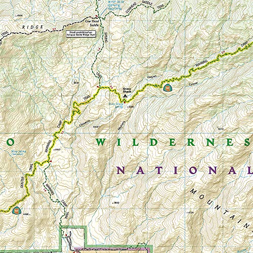
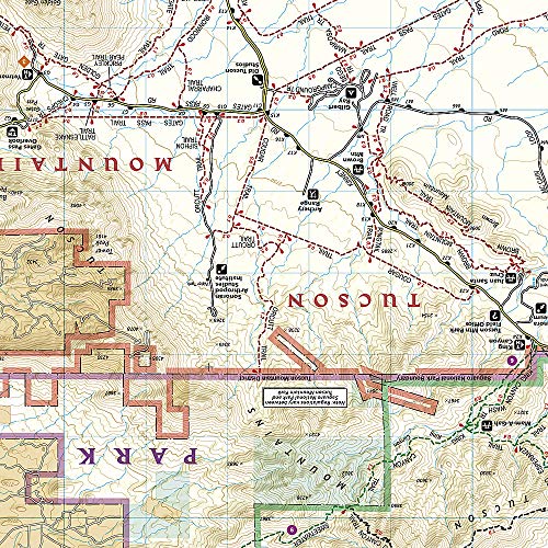
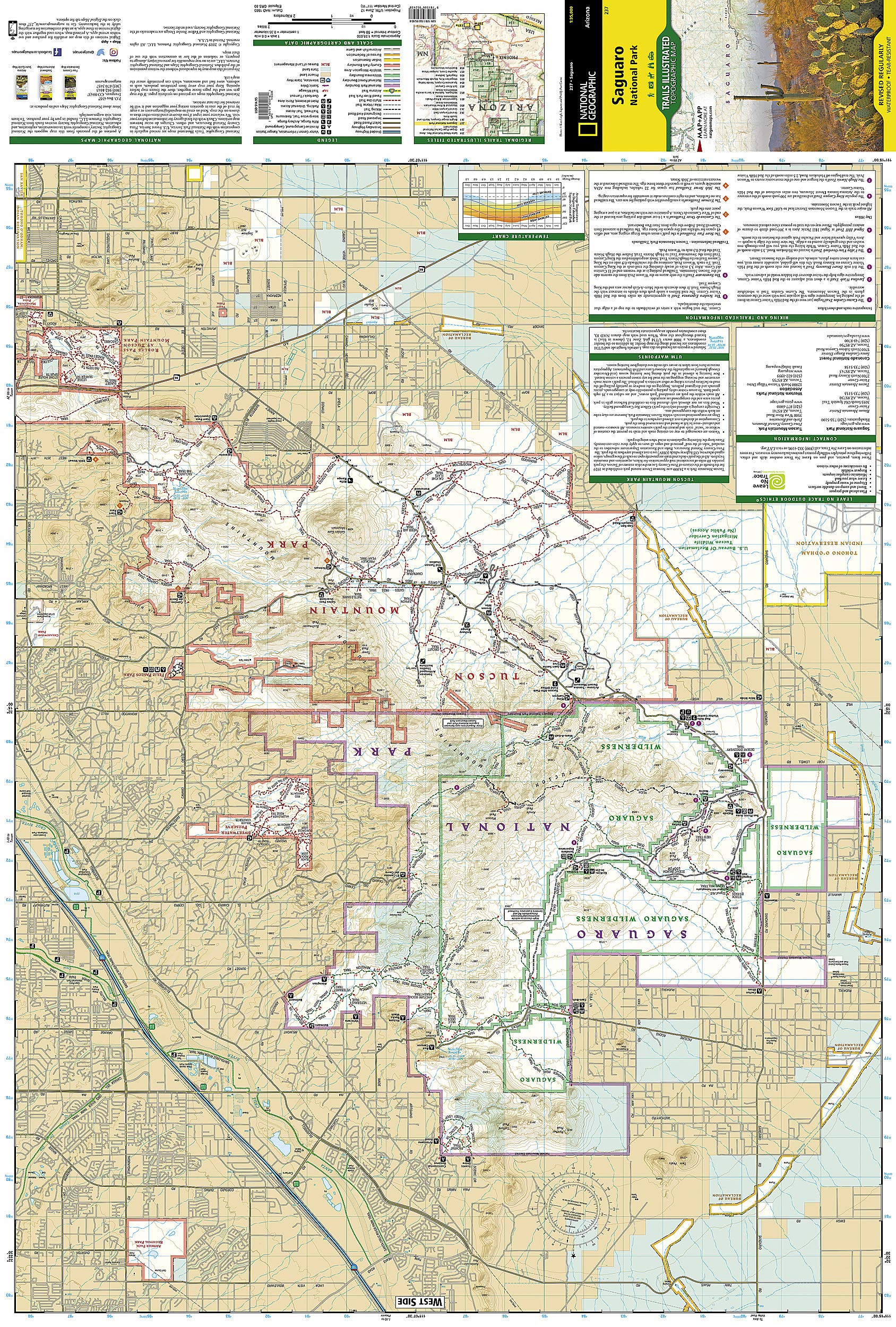
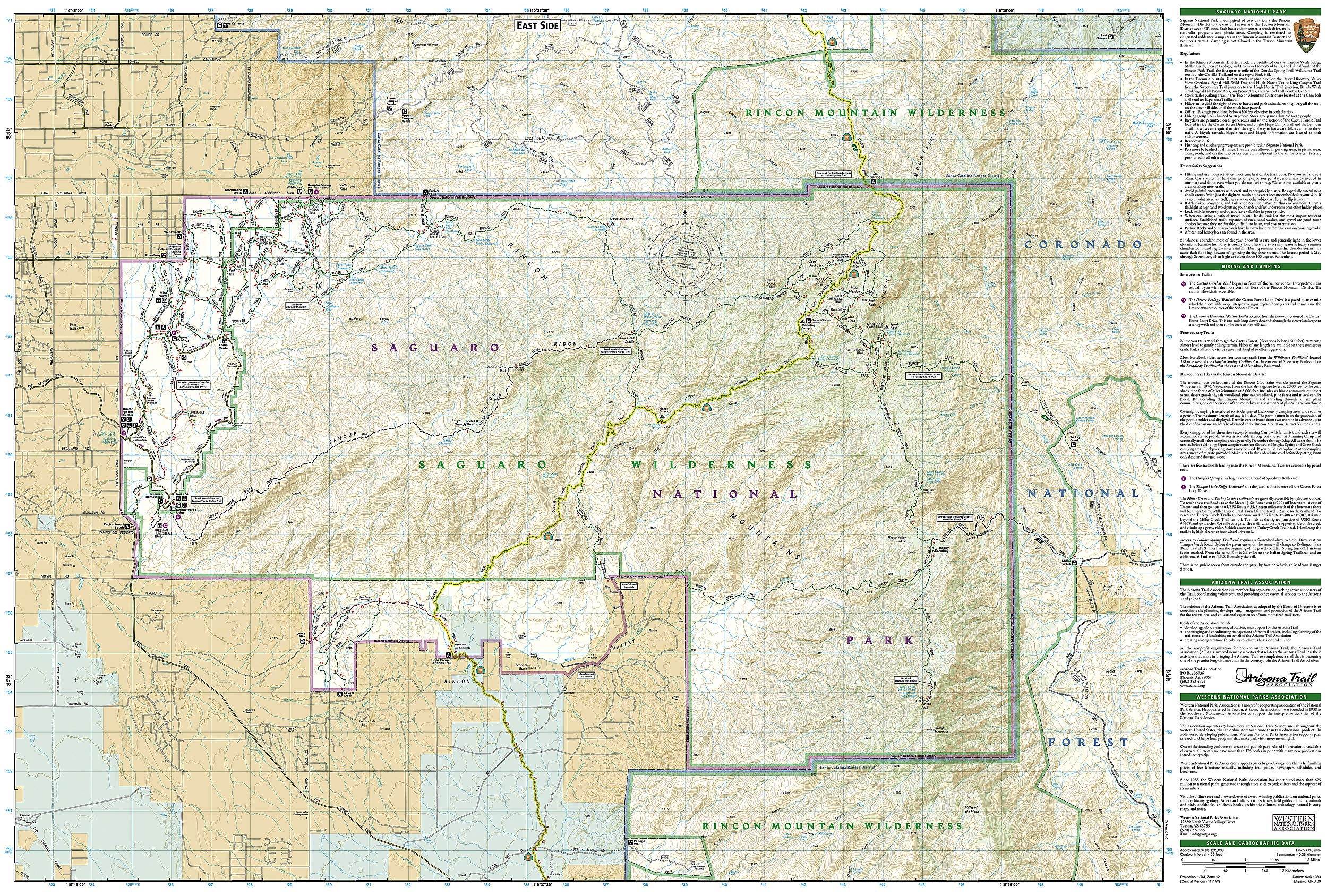
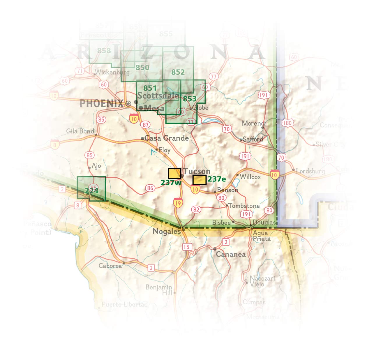
• Waterproof • Tear-Resistant • Topographic Map National Geographic's Trails Illustrated map of Saguaro National Park and surrounding areas to the east and west of Tucson, is the perfect map for hiking, biking, exploring, climbing, riding, camping, and sightseeing in this beautiful desert wilderness. Created in partnership with local land management agencies, this expertly researched map highlights key areas of interest including Tucson Mountain Park, Sweetwater Preserve, Robles Pass, Saguaro Wilderness, Tanque Verde Ridge, and Hope Camp, Yetman, and Petroglyphs trails. This map features detailed topography with shaded relief, elevations, and clearly defined, color-coded boundaries for parks, public lands, and wilderness areas. With miles of mapped trails including a portion of the Arizona Trail, this map can guide you off the beaten path and back again in some of the most iconic scenery in the desert southwest. The clearly marked trails include mileage between intersections and handy hiking and trailhead summaries will help you choose the path that's right for you. Recreation features are clearly marked, including campgrounds, interpretive trails, rifle and archery ranges, scenic drives, picnic areas, and points of interest. Every Trails Illustrated map is printed on "Backcountry Tough" waterproof, tear-resistant paper. A full UTM grid is printed on the map to aid with GPS navigation. Other features found on this map include: Coronado National Forest, Rincon Mountain Wilderness, Rincon Mountains, Saguaro National Park, Spud Rock, Tucson Mountains. Map Scale = 1:35,000 Sheet Size = 25.5" x 37.75" Folded Size = 4.25" x 9.25"
Buy products not available in the Philippines.