Galleon 2026Download our mobile shopping application for faster and easy transaction.
Product ID:
134095
Identifier:
1566953278
Brand:
National Geographic
Model:
Shipping Weight:
0.2 lbs
Manufacturer:
National Geographic Maps
Shipping Dimension:
9.21 x 4.25 x 0.51 inches
₱1,411
₱1,201
+ ₱ 150
Shipping Cost from USA to Philippines inclusive of custom fees.
Cost too high? Check weight and dimension on product details and click "I think this is wrong?" link.
Get it between 2026-06-11 to 2026-06-18.
Additional 3 business days for provincial shipping.
- Price and Stocks may change without prior notice
- Packaging of actual item may differ from photo shown
Cash upon Pick-up - orders grand total must not exceed ₱5,000.00. Order will be pickup at Galleon's Office.
Cash on Delivery - orders grand total must not exceed of ₱10,000.00 and must not exceed ₱5,000.00 for provincial areas. See all payment methods
Package Quantity: 1
Color: Multicoloured
Size: One-Size
Excellent Quality.
Produced with the highest grade materials
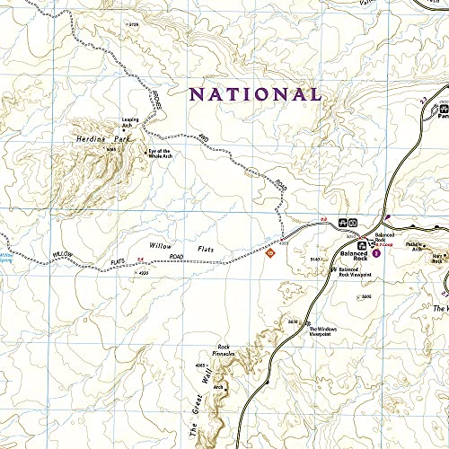
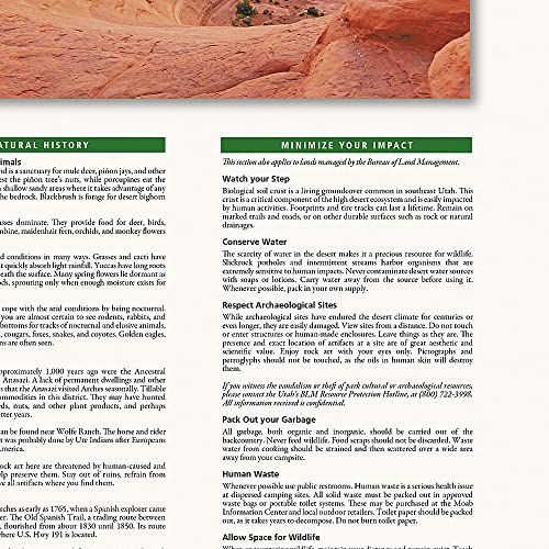
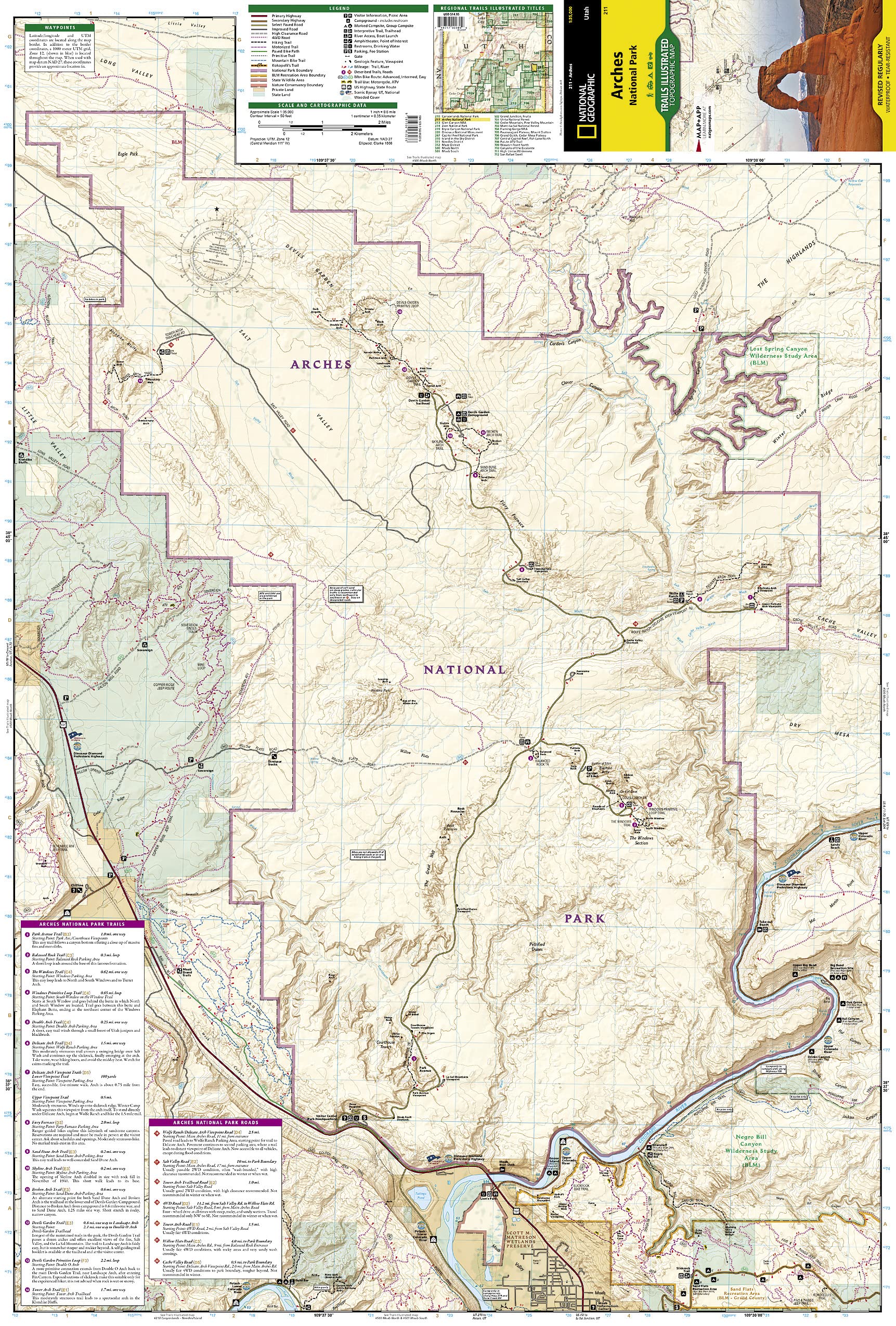
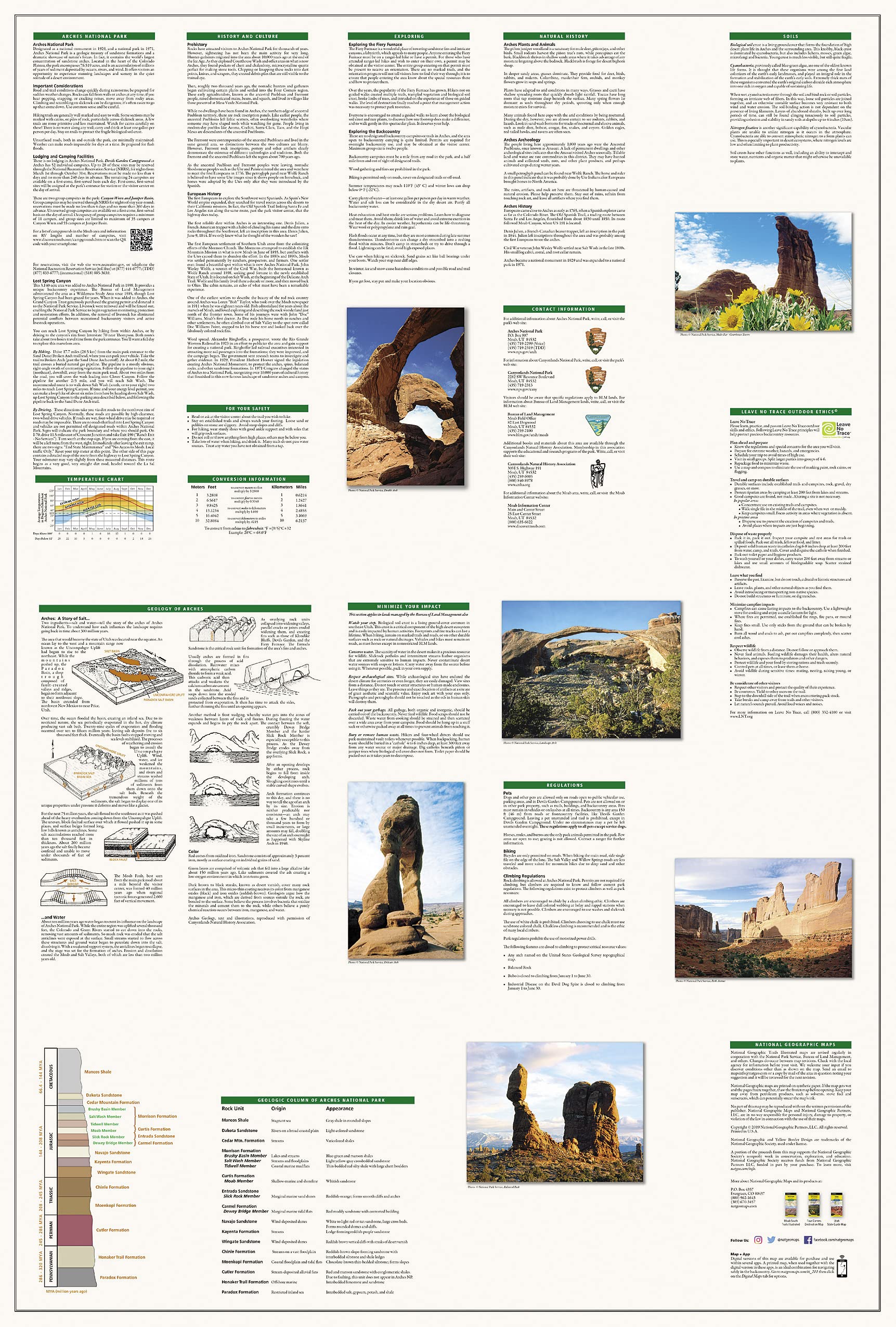
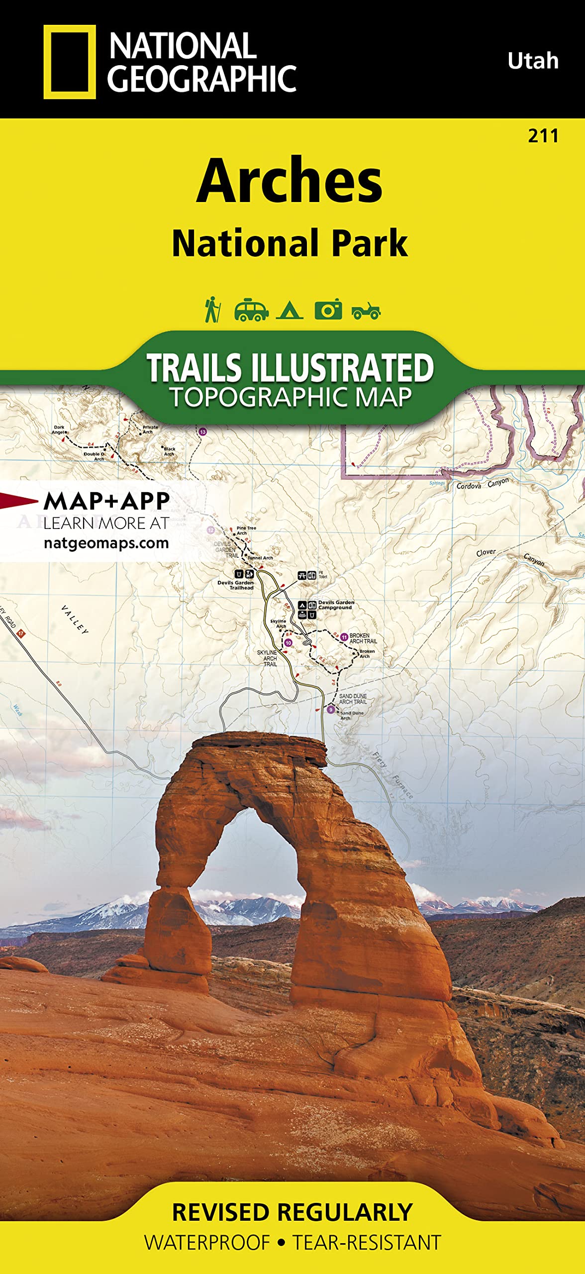
• Waterproof • Tear-Resistant • Topographic Map With over 2,000 natural stone arches and hundreds of other extraordinary geological formations, Arches National Park is a red rock wonderland. National Geographic's Trails Illustrated map of the park combines unmatched detail with helpful information to offer an invaluable tool for making the most of your visit to this iconic region. Created in partnership with local land management agencies, this expertly researched map features key areas of interest including Devils Garden, the Windows Section, Sand Flats Recreation Area, the Sovereign area, and Wolfe Ranch. The print version of the map includes fascinating information about the park's geology, archeology, history, and culture, as well as contact information and regulations. The trails are clearly marked and mileage between intersections is provided. River mileage on the Colorado River is noted as well, for those exploring by boat. Trail and road summaries provide the location, starting point, duration, and difficulty for a variety of suggested routes. Mountain bike trails are color-coded based on degree of difficulty, and motorcycle and ATV trail use is clearly noted. The map base includes contour lines and elevations for summits. Some of the many recreation features include interpretive trails, campgrounds, river access, picnic areas, and points of interest. Every Trails Illustrated map is printed on "Backcountry Tough" waterproof, tear-resistant paper. A full UTM grid is printed on the map to aid with GPS navigation. Other features found on this map include: Arches National Park, Salt Valley. Map Scale = 1:35,000 Sheet Size = 25.5" x 37.75" Folded Size = 4.25" x 9.25"

Buy products not available in the Philippines.