Galleon 2026Download our mobile shopping application for faster and easy transaction.
Product ID:
1664366
Identifier:
1566953251
Brand:
National Geographic
Model:
Shipping Weight:
0.13 lbs
Manufacturer:
Natl Geographic Society Maps
Shipping Dimension:
7.36 x 4.06 x 0.31 inches
₱1,434
₱1,219
+ ₱ 150
Shipping Cost from USA to Philippines inclusive of custom fees.
Cost too high? Check weight and dimension on product details and click "I think this is wrong?" link.
Get it between 2026-06-15 to 2026-06-22.
Additional 3 business days for provincial shipping.
- Price and Stocks may change without prior notice
- Packaging of actual item may differ from photo shown
Cash upon Pick-up - orders grand total must not exceed ₱5,000.00. Order will be pickup at Galleon's Office.
Cash on Delivery - orders grand total must not exceed of ₱10,000.00 and must not exceed ₱5,000.00 for provincial areas. See all payment methods
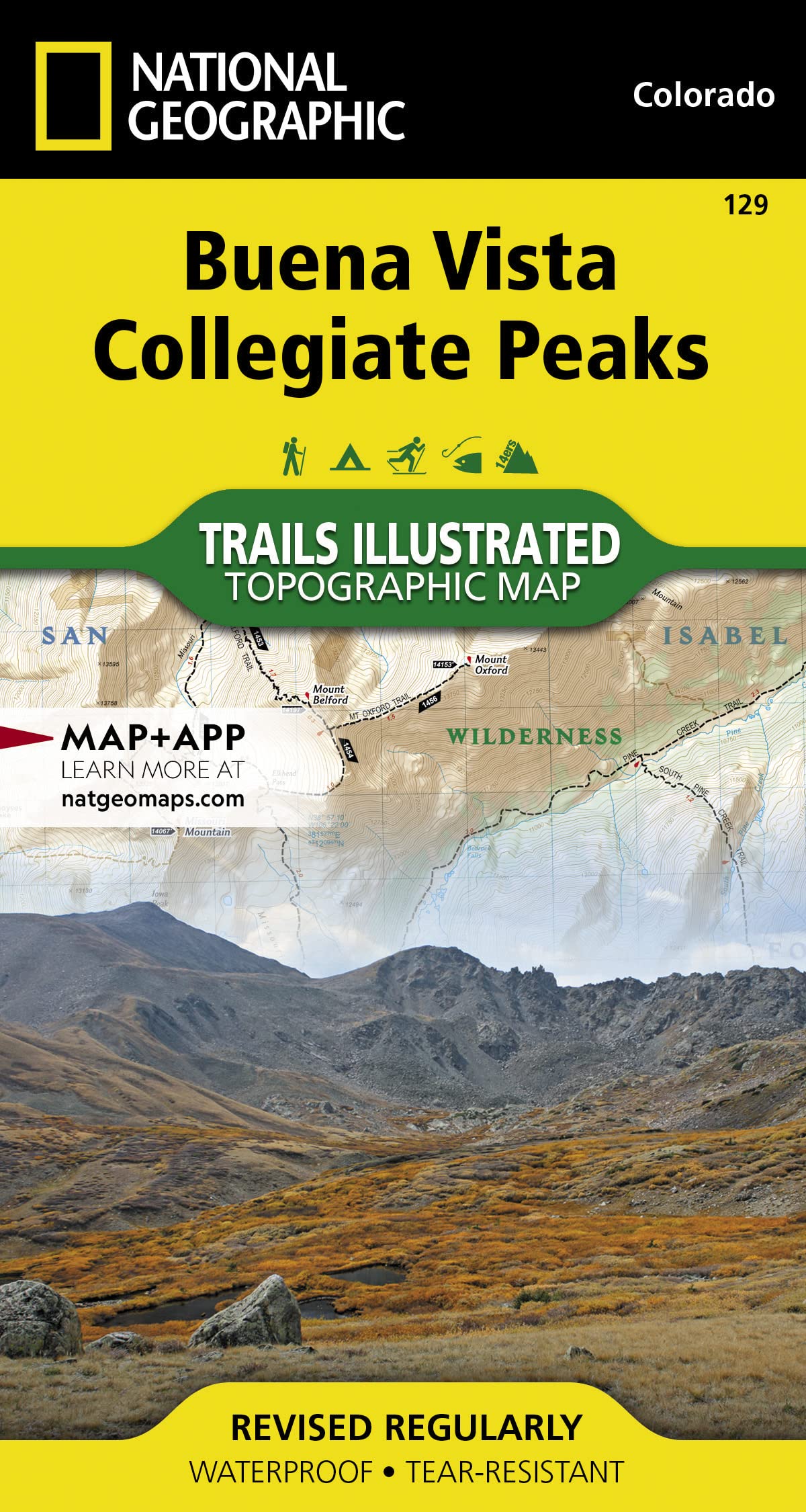
National Geographic Buena Vista/Colegiate Pks #129 by Colorado - 129
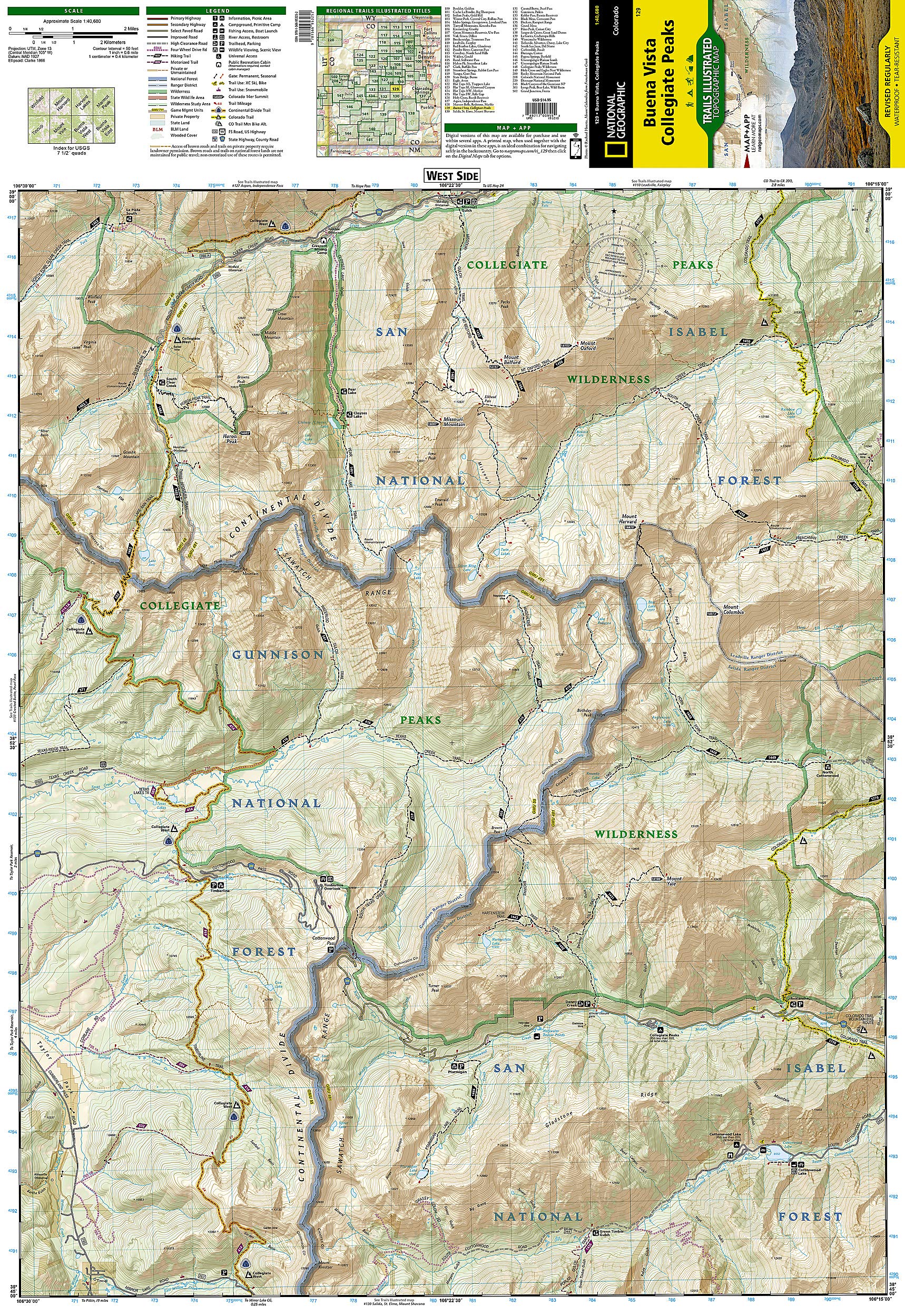
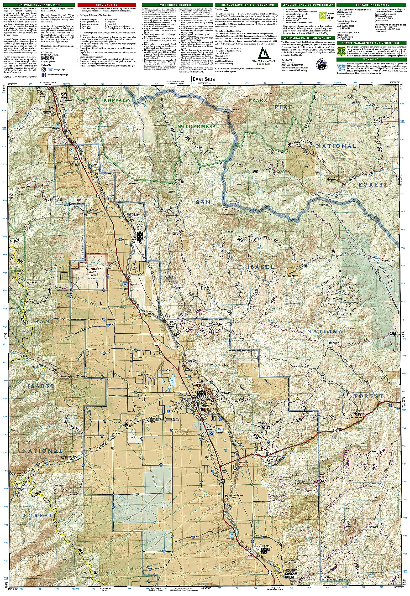
• Waterproof • Tear-Resistant • Topographic Map National Geographic's Trails Illustrated map of Buena Vista, Collegiate Peaks offers unparalleled detail for outdoor enthusiasts seeking to enjoy the year-round recreational opportunities available in this remarkable stretch of the Continental Divide. Created in partnership with local land management agencies, this expertly researched map features key areas of interest including Collegiate Peaks and Buffalo Peaks wilderness areas; San Isabel and Gunnison national forests; Arkansas River; Mount Harvard; and Cottonwood Pass. With miles of mapped trails including portions of the Colorado and Continental Divide trails, this map can guide you off the beaten path and back again in some of the most breathtaking scenery in the region. Cyclists will appreciate the detail paid to the many hard surface and mountain bike trails. Many recreation features are noted as well including snowmobile trails, cross country and alpine ski areas, trailheads, fishing areas, river access, campgrounds, and climbing areas. The map base includes contour lines and elevations for summits, passes and some lakes. Every Trails Illustrated map is printed on "Backcountry Tough" waterproof, tear-resistant paper. A full UTM grid is printed on the map to aid with GPS navigation. Other features found on this map include: Buffalo Peaks Wilderness, Collegiate Peaks Wilderness, Gunnison National Forest, Huron Peak, Missouri Mountain, Mount Belford, Mount Columbia, Mount Harvard, Mount Oxford, Mount Yale, Pike National Forest, San Isabel National Forest, Sawatch Range. Map Scale = 1:40,680 Sheet Size = 22" x 32" Folded Size = 4" x 7.5"

Buy products not available in the Philippines.