Galleon 2026Download our mobile shopping application for faster and easy transaction.
Product ID:
1870218
Identifier:
156695343X
Brand:
National Geographic
Model:
Shipping Weight:
0.2 lbs
Manufacturer:
National Geographic Maps
Shipping Dimension:
9.17 x 4.29 x 0.24 inches
₱1,434
+ ₱ 150
Shipping Cost from USA to Philippines inclusive of custom fees.
Cost too high? Check weight and dimension on product details and click "I think this is wrong?" link.
Get it between 2026-06-15 to 2026-06-22.
Additional 3 business days for provincial shipping.
- Price and Stocks may change without prior notice
- Packaging of actual item may differ from photo shown
Cash upon Pick-up - orders grand total must not exceed ₱5,000.00. Order will be pickup at Galleon's Office.
Cash on Delivery - orders grand total must not exceed of ₱10,000.00 and must not exceed ₱5,000.00 for provincial areas. See all payment methods
Author: National Geographic Maps
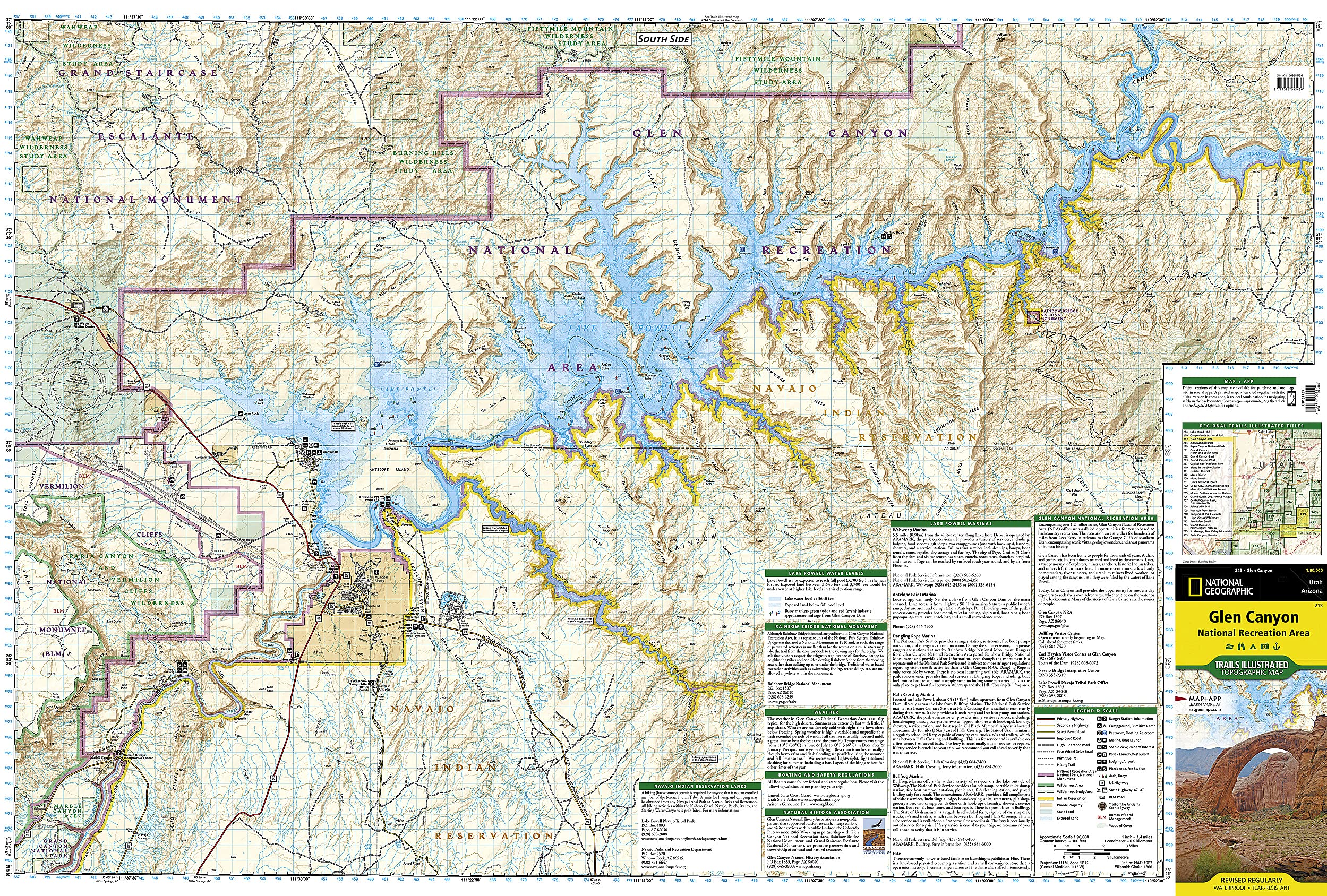
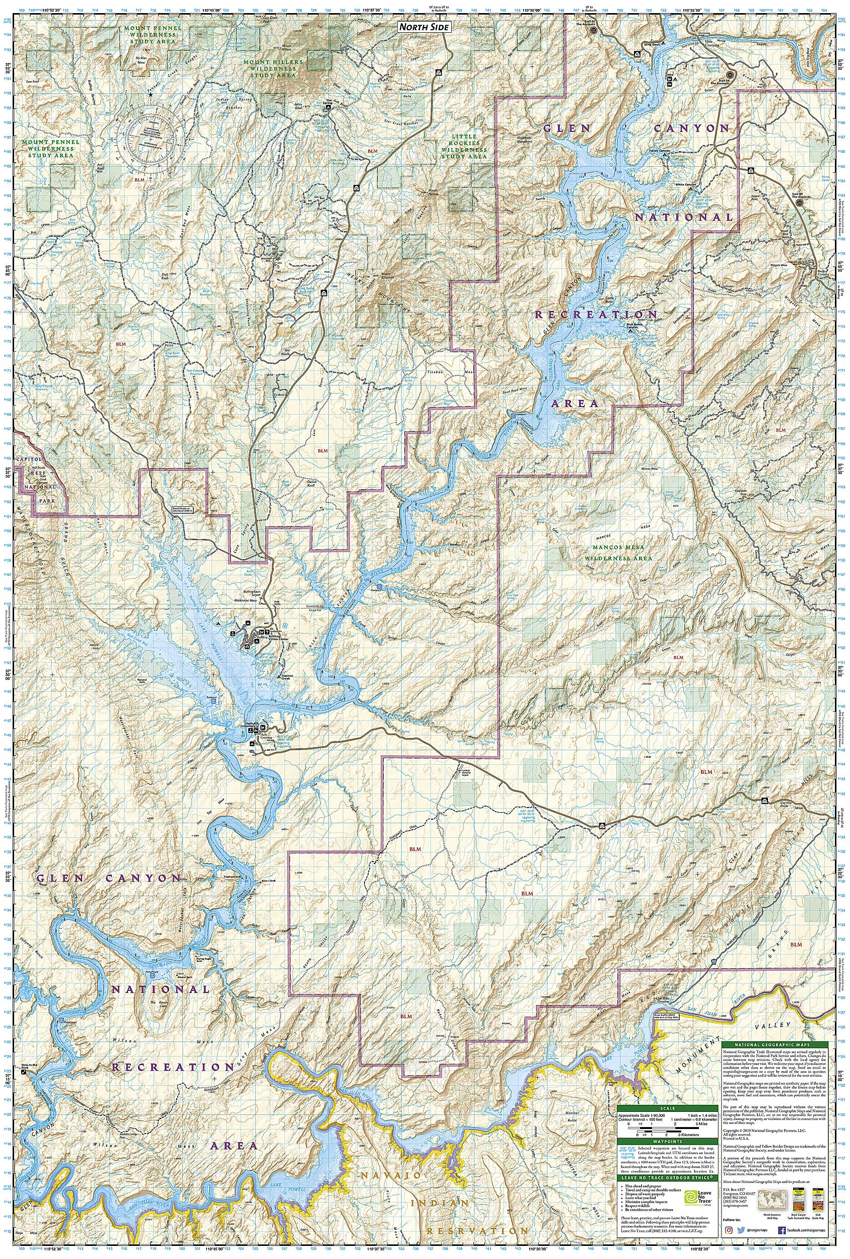
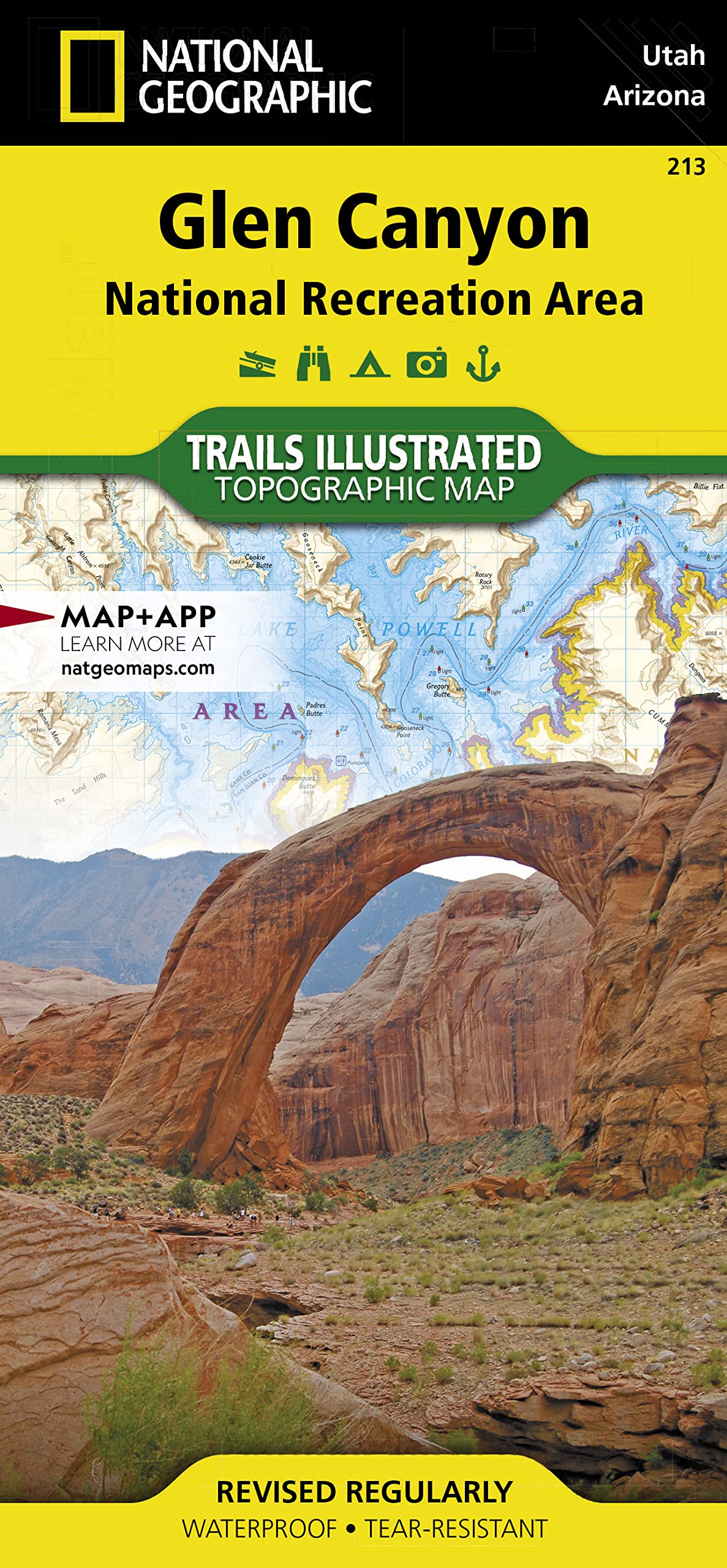
• Waterproof • Tear-Resistant • Topographic Map Let National Geographic's Trails Illustrated map of Glen Canyon National Recreation Area guide you over the hundreds of miles and 1.2 million acres of this historic, scenic and recreation rich area. Expertly researched and created in cooperation with the National Park Service and others, the map provides unparalleled detail of many popular points of interest, including Lake Powell, Colorado River, Antelope Island, Rainbow Bridge National Monument, Navajo Indian Reservation, Vermilion Cliffs National Monument and Trail of the Ancients Scenic Byway. Since the recreation area has no maintained trails, you can navigate the area with the help of the map's detailed topography, including shaded relief, contour lines, elevations, labeled peaks and water features. For those who prefer to explore the area by water, Lake Powell is shown with bathymetric shading and contour lines along with correctly positioned and numbered buoys. Additionally, descriptions of Lake Powell marinas is provided along with their contact information. Other recreation features include boat and kayak launch points, campgrounds and scenic views. Every Trails Illustrated map is printed on "Backcountry Tough" waterproof, tear-resistant paper. A full UTM grid is printed on the map to aid with GPS navigation. Other features found on this map include: Bullfrog Creek, Cataract Canyon, Dirty Devil River, Escalante River, Glen Canyon, Glen Canyon Dam, Glen Canyon National Recreation Area, Kaibito Creek, Lake Powell, Mount Hillers, Navajo Creek, Paria River, Rainbow Plateau, Red Canyon, San Juan River, Smoky Mountain, Wahweap Creek, Wilson Mesa. Map Scale = 1:90,000 Sheet Size = 37.75" x 25.5" Folded Size = 4.25" x 9.25"

Buy products not available in the Philippines.