Galleon 2026Download our mobile shopping application for faster and easy transaction.

₱3,768
+ ₱ 252
Shipping Cost from USA to Philippines inclusive of custom fees.
Cost too high? Check weight and dimension on product details and click "I think this is wrong?" link.
Get it between 2026-06-12 to 2026-06-19.
Additional 3 business days for provincial shipping.
- Price and Stocks may change without prior notice
- Packaging of actual item may differ from photo shown
Cash upon Pick-up - orders grand total must not exceed ₱5,000.00. Order will be pickup at Galleon's Office.
Cash on Delivery - orders grand total must not exceed of ₱10,000.00 and must not exceed ₱5,000.00 for provincial areas. See all payment methods
Product ID:
876837
Identifier:
B077KRKMP2
Brand:
AMTAST
Model:
AMC-107
Shipping Weight:
0.26 lbs
Manufacturer:
AMTAST
Shipping Dimension:
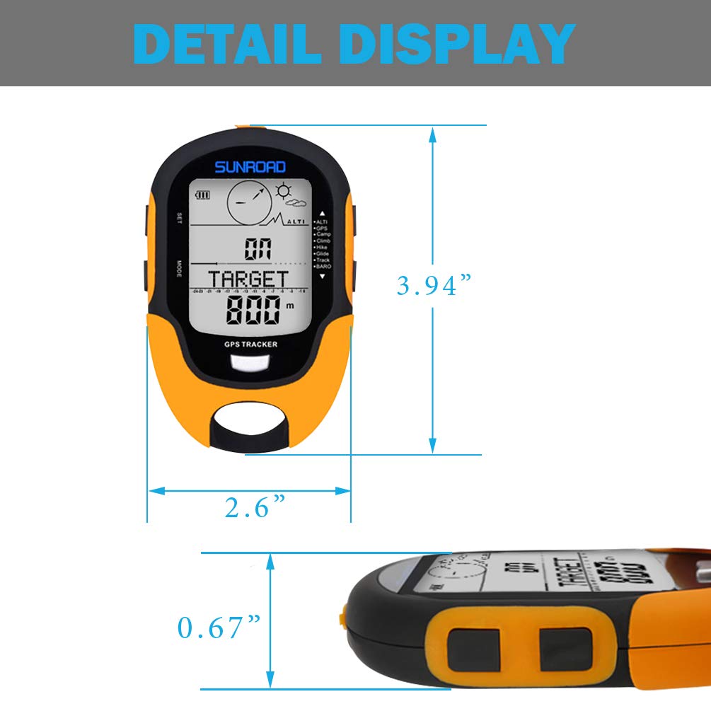
5.75 x 3.94 x 1.26 inches
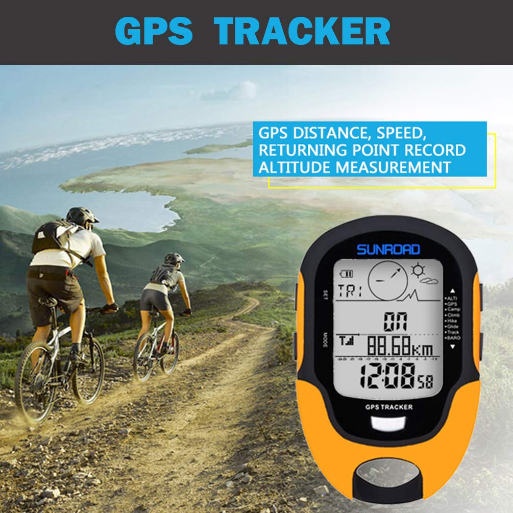
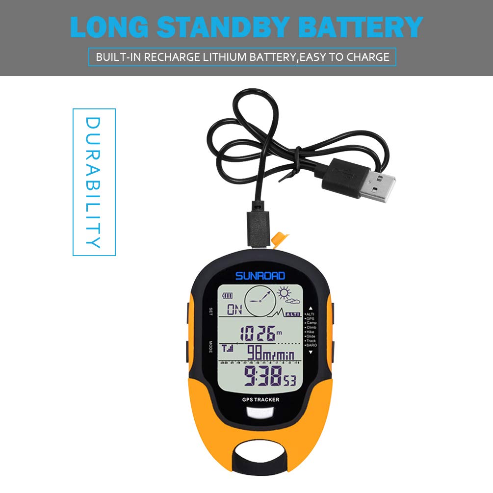
𝐆𝐏𝐒 & 𝐁𝐄𝐈𝐃𝐎𝐔 𝐃𝐎𝐔𝐁𝐋𝐄 𝐒𝐘𝐒𝐓𝐄𝐌 - AMTAST sunroad altimeter is equipped with a dual GPS and Beidou navigation system, ensuring precise location tracking. The advanced system supports double satellite locating, providing reliable data for outdoor activities. It tracks both speed and distance, allowing users to monitor their performance while hiking, trekking, or other outdoor sports.
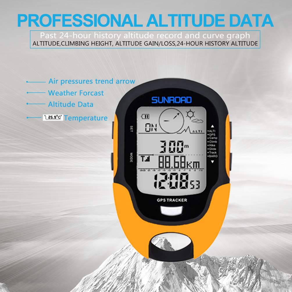
𝐀𝐋𝐓𝐈𝐓𝐔𝐃𝐄 𝐑𝐄𝐆𝐈𝐒𝐓𝐄𝐑 & 𝐃𝐀𝐓𝐀 𝐑𝐄𝐂𝐎𝐑𝐃 - The hiking GPS compass tracks altitude gain and loss, recording data for up to 24 hours. You can view this data in a trend chart to understand elevation changes during your journey. This feature helps hikers monitor progress and altitude variations. It also includes an altitude reminder, set between 1 and 200 meters, ensuring safety or helping achieve performance goals during your outdoor adventure.
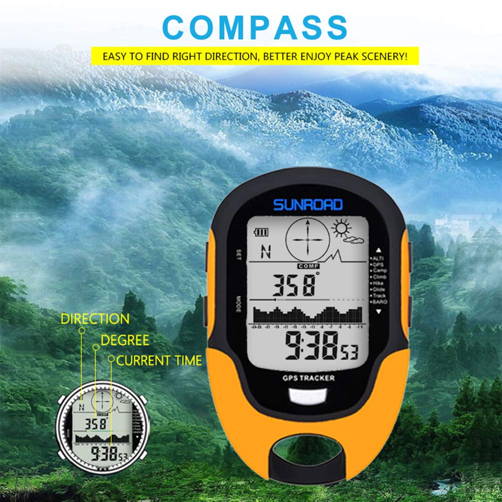
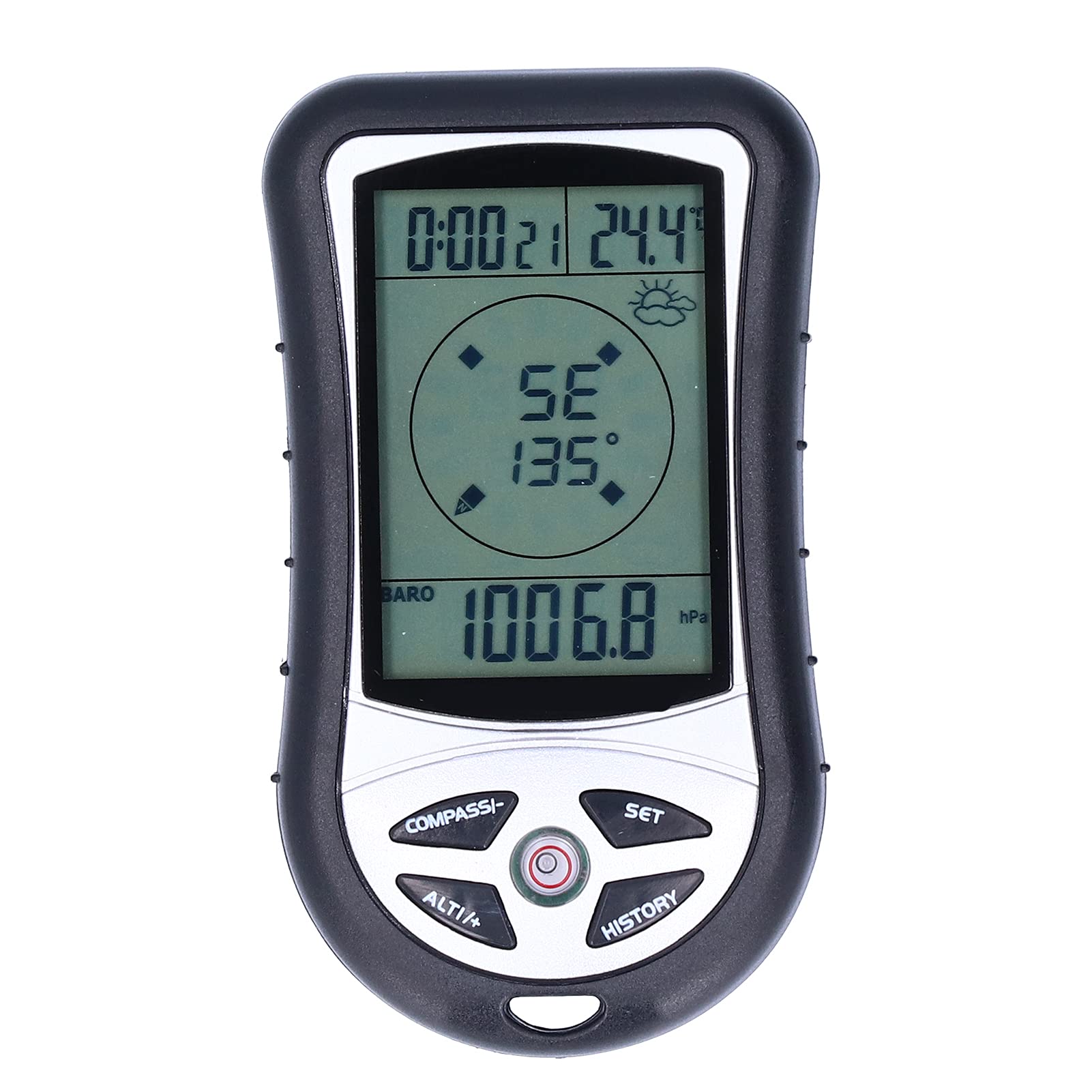
𝐌𝐔𝐋𝐓𝐈𝐅𝐔𝐍𝐂𝐓𝐈𝐎𝐍𝐀𝐋 𝐂𝐎𝐌𝐏𝐀𝐒𝐒 - Equipped with a 16-direction digital compass, this hiking device ensures accurate navigation in unfamiliar terrain. It provides real-time bearing information to keep you oriented. Additionally, it includes a hygrometer and temperature gauge, offering essential environmental data like weather conditions, temperature, and humidity to help you adapt your hiking plans.
𝐀𝐋𝐓𝐈𝐓𝐔𝐃𝐄 𝐒𝐄𝐓𝐓𝐈𝐍𝐆 & 𝐀𝐈𝐑 𝐏𝐑𝐄𝐒𝐒𝐔𝐑𝐄 𝐓𝐑𝐄𝐍𝐃 - The digital altimeter allows you to set a target altitude for tracking your hike's elevation goals. It's perfect for planning climbs or monitoring specific targets. The device also tracks air pressure trends for up to 24 hours, providing insights into weather changes, such as drops in pressure, which could indicate upcoming storms or changes in conditions during your hike.
𝐇𝐈𝐒𝐓𝐎𝐑𝐘 & 𝐄𝐍𝐕𝐈𝐑𝐎𝐍𝐌𝐄𝐍𝐓 𝐃𝐀𝐓𝐀 𝐑𝐄𝐆𝐈𝐒𝐓𝐄𝐑 - Our pocket altimeter features history tracking for maximum and minimum altitude, temperature, and humidity over a given period. This allows users to analyze their previous hikes and track how environmental factors changed throughout their journeys. By recording this data, the device helps users make informed decisions on future hikes and better understand how their surroundings may impact their performance.
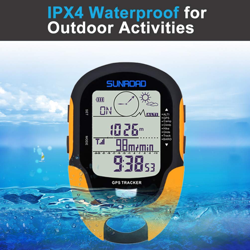
GPS MULTIFUNCTION ALTIMETER AMTAST Altimeter is equipped with a dual GPS and Beidou navigation system, ensuring precise location tracking. This advanced system supports double satellite locating, providing reliable data for outdoor activities. It tracks both speed and distance, allowing users to monitor their performance while hiking, trekking, or other outdoor sports. Additionally, with its 9 groups of route tracking capability, you can easily record and revisit your trails, making it an indispensable tool for long hikes. SPECIFICATIONS: Altimeter: 1. Display range: -2296 ft to 29500ft (-700m to 9000m) 2. Resolution: 1m/3ft 3. Altimeter measurement: Sea level altitude / Climbing altitude 4. The highest altitude record automatically during climbing: Available 5. Altitude gain/loss calculation: Yes 6. History altitude record: Record altitude every 30 minute 7. Unit: M and Ft unit switch available Barometer: 1. Display range: 300hpa to 1100hpa (8.8 to 32.6inHg) 2. Resolution: 0.1hpa 3. Unit: Millibar and INhg unit switch available Thermometer: 1. Display range: -20℃ to 60℃ (-4℉ to 140℉) 2. Resolution: 1℃ / 1℉ 3. Unit: Celsius and Fahrenheit unit switch available 4. History temperature record: Max / min temperature record Hygrometer: 1. Display range: 20% ~ 95% 2. History humidity record: Max / min humidity record Compass: 1. Display mode: 360o with eight directions 2. Resolution: 1° Weather forecast: 1. Forecast: Forecast for future 12 to 24 hours weather 2. Four weather status: Sunny-Slight sunny-Cloudy-Rain Time & Date: 1. Display mode: 24H or 12H available LED torch: 1. LED torch: High-light LED torch OTHERS: 1. Backlight: 5 seconds high-light LED backlight 2. Waterproof: IPX4 3. Item weight: 0.14kgs 4. Product dimension: 100 X 66 X 20mm 5. Package: 1pcs/gift box, 100pcs/ master carton 6. Master carton dimension: 58 x 43 x 30cm 7. Master carton weight: G.W. 12kgs, N.W.10kgs


Buy products not available in the Philippines.