
We specialize in hard to find items

All Categories


*Price and Stocks may change without prior notice
*Packaging of actual item may differ from photo shown
- Electrical items MAY be 110 volts.
- 7 Day Return Policy
- All products are genuine and original
- Cash On Delivery/Cash Upon Pickup Available


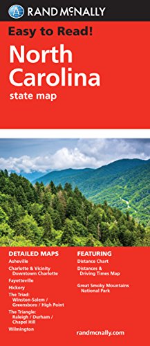
About Easy To Read: North Carolina
Rand McNally's folded map for North Carolina is a must-have for anyone traveling in or through the state, offering unbeatable accuracy and reliability at a great price. Our trusted cartography shows all Interstate, U.S., state, and county highways and much more. Points of interest State park chart State mileage chart Driving times map On-the-road toolbox Visitor center information Climate data State facts & symbols Easy-to-use legend Detailed indexed Coverage Area Detailed maps include: Asheville, Charlotte, Fayetteville, Gastonia, Great Smoky Mountains National Park, Raleigh/Durham/Chapel Hill, Wilmington, Winston-Salem/Greensboro/High Point Product Details Measures 9.0" x 4.125" and folds out to 25.5" x 36.75"


