
We specialize in hard to find items

All Categories


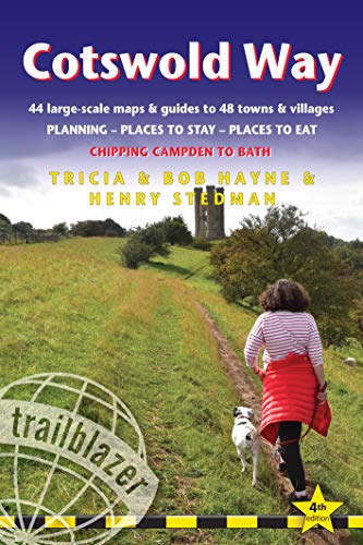


Cotswold Way: Chipping Campden to Bath - Planning, Places to Stay, Places to Eat; Includes 44 Large-scale Walking Maps (British Walking Guides)
Share Tweet


About Cotswold Way: Chipping Campden To Bath
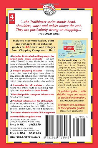
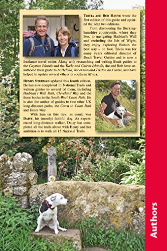
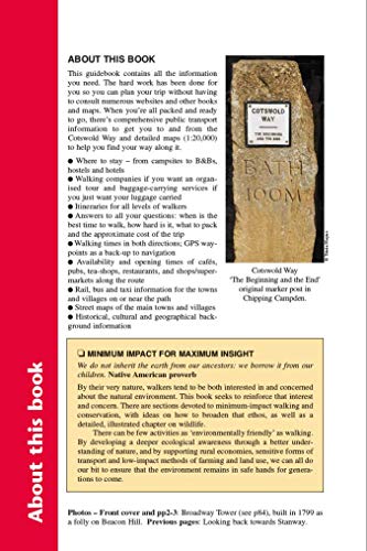
Review ‘A polished guide to the Cotswold Way National Trail, with detailed maps, GPS waypoints and masses of practical information including a section on 'minimum impact walking'.' ― Walk Magazine, The Ramblers' Association ‘Maintains the hallmarks of these popular Trailblazer LDP guides' ― Strider, Journal of the Long Distance Walkers Association Product Description All-in-one hiking route guide and maps to the Cotswold Way, a 102-mile National Trail that runs from Chipping Campden to Bath, following the beautiful Cotswold escarpment for most of its course. The trail leads through quintessentially English countryside with little villages of honey-coloured stone to the well-known town of Bath. Includes 44 large-scale maps (3 1/8 inches to 1 mile); 9 town plans and 8 overview maps. Full details of all accommodations and campsites, restaurants and pubs; plus full public transport information. Plus day-walks. Fully revised and rewalked 4th edition. • 44 large-scale walking maps – at just under 1:20,000 – showing route times, places to stay, points of interest and much more • 9 town plans - Chipping Campden, Broadway, Winchcombe, Cheltenham, Painswick, Dursley, Wotton-under-Edge, and the city of Bath • 8 area maps and trail profiles • Itineraries for all walkers – whether walking the route in its entirety over seven to eight days or sampling the highlights on day walks and short breaks • Practical information for all budgets – camping, bunkhouses, hostels, B&Bs, pubs and hotels; Chipping Campden to Bath – where to stay, where to eat, what to see, plus detailed street plans • Comprehensive public transport information – for all access points on the Cotswold Way. • Flora and fauna – four page full color flower guide, plus an illustrated section on local wildlife • Green hiking – understanding the local environment and minimizing our impact on it • Bath city guide • Includes downloadable gps waypoints About the Author Tricia and Bob Hayne are hikers of considerable experience, having trekked in many parts of the world. For many years Tricia was editorial director of Bradt Travel Guides. This edition was updated by Henry Stedman, who has written several Trailblazer guides including Kilimanjaro - The Trekking Guide.


