We specialize in hard to find items

All Categories


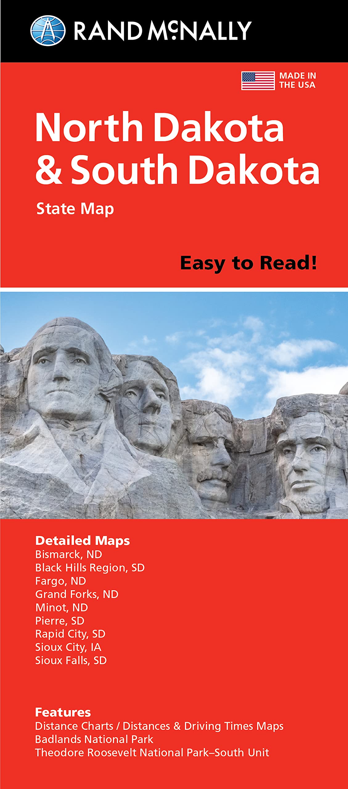


Rand McNally Easy to Read Folded Map: North Dakota, South Dakota State Map
Share Tweet
*Price and Stocks may change without prior notice
*Packaging of actual item may differ from photo shown
- Electrical items MAY be 110 volts.
- 7 Day Return Policy
- All products are genuine and original
- Cash On Delivery/Cash Upon Pickup Available


Rand McNally Easy to Read Folded Map: North Features
-
Points of interest
-
State park chart
-
State mileage chart
-
Driving times map
-
On-the-road toolbox
-
Visitor center information
-
Climate data
-
State facts & symbols
-
Easy-to-use legend
-
Detailed indexed
-
Copyright 2021
About Rand McNally Easy To Read Folded Map: North
Rand McNally's folded map for North Dakota and South Dakota is a must-have for anyone traveling in or through the states, offering unbeatable accuracy and reliability at a great price. Our trusted cartography shows all Interstate, U.S., state, and county highways and much more. - Points of interest. - State park chart. - State mileage chart. - Driving times map. - On-the-road toolbox. - Visitor center information. - Climate data. - State facts & symbols. - Easy-to-use legend. - Detailed indexed. Coverage Area: Detailed maps include, Bismarck, ND; Black Hills Region, Fargo, ND; Grand Forks, ND; Pierre, SD; Rapid City, SD; Sioux Falls, SD. Product Details: Measures 9.0 x 4.125 and folds out to 25.5 x 36.75.