We specialize in hard to find items

All Categories


Southern France Map (National Geographic Adventure Map, 3314)
Share Tweet
*Price and Stocks may change without prior notice
*Packaging of actual item may differ from photo shown
- Electrical items MAY be 110 volts.
- 7 Day Return Policy
- All products are genuine and original
- Cash On Delivery/Cash Upon Pickup Available


About Southern France Map
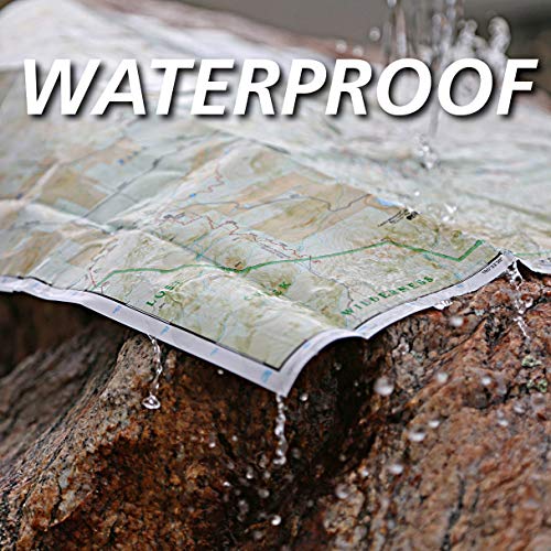
• Waterproof • Tear-Resistant • Travel Map National Geographic's Adventure Map of Southern France is an invaluable tool for travelers seeking to explore the rich history, distinctive cuisine, and colorful landscapes of this remarkable region. Designed to meet the needs of adventure travelers with its detailed, accurate information, this map includes the location of cities and towns with a user-friendly index and a clearly marked road network complete with distances and designations for roads/expressways, plus secondary routes for those seeking to explore off the beaten path. With specialty content to include hundreds of diverse and unique recreational, ecological, cultural, and historical destinations, this map is a perfect companion to a guidebook. Among the many points of interest are national parks, campsites, beaches, ski resorts, golf courses, archeological sites, castles, churches, monuments, and more. The front side of the print map details the eastern region, from its border with Monaco and Italy to the east, and the Riviera (Cote d' Azur), Mediterranean Sea and Golfe Du Lion to the south. The reverse side of the map details Southern France's western region, extending from the Bay of Biscay to the west, Spain and Andorra to the south, and the Golfe du Lion to the east. Users will find a variety of helpful travel aids on this map as well, including the location of airports, railroads, and ferry routes. Every Adventure Map is printed on durable synthetic paper, making them waterproof, tear-resistant and tough — capable of withstanding the rigors of international travel. Map Scale = 1:465,000 Sheet Size = 37.75" x 25.5" Folded Size = 4.25" x 9.25"