We specialize in hard to find items

All Categories


Alps Map (National Geographic Adventure Map, 3321)
Share Tweet
*Price and Stocks may change without prior notice
*Packaging of actual item may differ from photo shown
- Electrical items MAY be 110 volts.
- 7 Day Return Policy
- All products are genuine and original
- Cash On Delivery/Cash Upon Pickup Available


About Alps Map
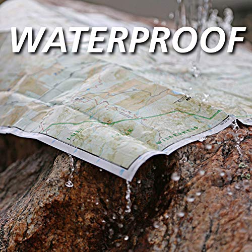
• Waterproof • Tear-Resistant • Travel Map National Geographic's Adventure Map of the Alps is an invaluable tool for travelers seeking to explore the iconic mountain range that stretches across eight European countries including Austria, France, Germany, Italy, Liechtenstein, Monaco, Slovenia, and Switzerland. This expertly crafted map includes the locations of thousands of cities and towns with an index for easily locating them, plus a clearly marked road network complete with distances and designations for motorways, dual carriageways, trunk roads, main roads, and minor roads. Seasonal closures are noted as well. National parks, botanical gardens, castles, churches, hot springs, archaeological sites, spas, museums, and other points of interest are clearly indicated so travelers can take advantage of the region's many natural attractions and activities. The front side of the print map covers the western portion of the region from Grenoble, France and Genéve, Switzerland south to Milano, Italy and east to the western border of Austria. It also includes the countries of Liechtenstein and Monaco, and the cities of Torino and Zürich. The Mediterranean coast is shown from Cannes, France to Génova Italy. The eastern side covers München (Munich), Germany in the north to Vicenza, Italy in the south, and reaches to Trieste, Italy and the borders of Croatia and Hungary. The cities of Wein (Vienna), Innsbruck, Treviso, and Ljubljana are also included. Every Adventure Map is printed on durable synthetic paper, making them waterproof, tear-resistant and tough — capable of withstanding the rigors of international travel. Map Scale = 1:600,000 Sheet Size = 25.5" x 37.75" Folded Size = 4.25" x 9.25"