We specialize in hard to find items

All Categories


Colorado Backpack Loops North Map (National Geographic Topographic Map Guide, 1304)
Share Tweet
*Price and Stocks may change without prior notice
*Packaging of actual item may differ from photo shown
- Electrical items MAY be 110 volts.
- 7 Day Return Policy
- All products are genuine and original
- Cash On Delivery/Cash Upon Pickup Available


About Colorado Backpack Loops North Map
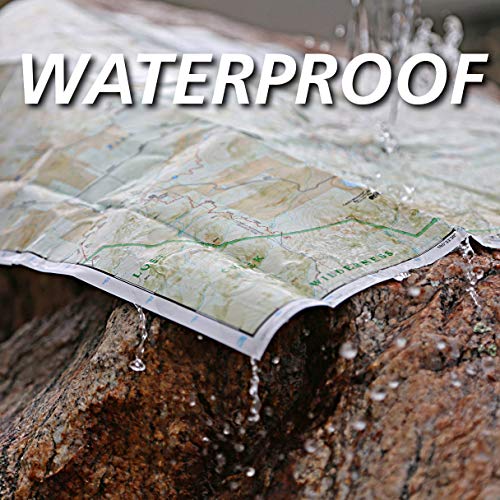
Product Description • Waterproof • Tear-Resistant • Topographic Map Colorado is renowned for its outdoor recreational opportunities. One of these pastimes is, of course, backcountry hiking. The Colorado Backpack Loops North Topographic Map Guide covers a dozen backpack loops selected by National Geographic staff for their diversity, remoteness, and inspiring vistas. Each page of the Topographic Map Guide includes a detailed map of the trail with directions to the trailhead from the nearest major town as well as a trail profile with mileages to foreshadow the elevation changes that will be met along the way. GPS coordinates are also provided for strategic points along the trail to help with navigation. The trails are organized by the number of nights backpackers can expect to be in the backcountry, from one to more than three. They range from 8 to 25 miles long with elevation gains from 2,000 to over 7,000 feet. Written descriptions of each trail give an overview of the natural features that will be encountered along the way as well as the length, total elevation gain, and nearest town to each trailhead. This Topographic Map Guide will get you into the wild lands of northern Colorado that most hikers in the country can only dream about. More convenient and easier to use than folded maps, but just as compact and lightweight, National Geographic's Topographic Map Guide booklets are printed on "Backcountry Tough" waterproof, tear-resistant paper with stainless steel staples. A full UTM grid is printed on the map to aid with GPS navigation Map Scale = 1:40,680 & 1:63,360 Folded Size = 4.25" x 9.38" About the Author Founded in 1915 as the Cartographic Group, the first division of National Geographic, National Geographic Maps has been responsible for illustrating the world around us through the art and science of mapmaking.Today, National Geographic Maps continues this mission by creating the world's best wall maps, recreation maps, atlases, and globes which inspire people to care about and explore their world.