
We specialize in hard to find items

All Categories


Mount Baker and Boulder River Wilderness Areas Map [Mt. Baker-Snoqualmie National Forest] (National Geographic Trails Illustrated Map, 826)
Share Tweet
*Price and Stocks may change without prior notice
*Packaging of actual item may differ from photo shown
- Electrical items MAY be 110 volts.
- 7 Day Return Policy
- All products are genuine and original
- Cash On Delivery/Cash Upon Pickup Available


Mount Baker and Boulder River Wilderness Areas Map Features
-
MT BAKERBOULDER RIVER #826
About Mount Baker And Boulder River Wilderness Areas Map
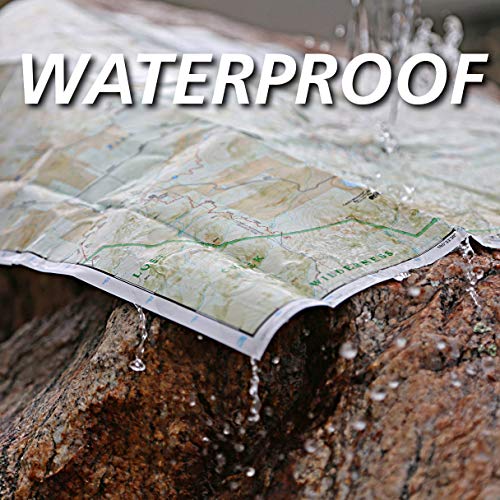
• Waterproof • Tear-Resistant • Topographic Map National Geographic's Trails Illustrated map of Mount Baker and Boulder River Wilderness Areas is designed to meet the needs of outdoor enthusiasts looking to enjoy the limitless recreational opportunities in the western Cascades of northern Washington. Expertly researched and created in partnership with the U.S. Forest Service and others, the map's coverage includes many attractions in and around Mount Baker-Snoqualmie National Forest, like Mounts Baker and Shuksan with their glaciers; Mount Baker, Boulder River, Wild Sky and Noisy-Diobsud Wilderness Areas; Mount Baker National Recreation Area; Baker and Spada Lakes; Sauk and Skagit Wild and Scenic Rivers; and Forks of the Sky, Wallace Falls and Rockport State Parks. Trails in the area are all labeled according to their designated usage, whether you are exploring on foot, skis, horseback, mountain bike, ATV or snowmobile, including parts of the Pacific Crest and Pacific Northwest Trails. To aid in your navigation, the map includes contour lines, elevations, labeled peaks, water features, selected waypoints, areas of wooded cover, numbered Forest Service roads and color-coded boundaries between the various land management agencies in the region. The Mount Baker Highway, North Cascades and Mountain Loop Scenic Byways are all marked. Many of the area's recreational activities are pinpointed on the map, such as campgrounds and campsites, picnic areas, trailheads and interpretive trails, downhill and cross-country ski areas, motorized and non-motorized sno-parks, boat ramps, fishing holes and lookout towers. Every Trails Illustrated map is printed on "Backcountry Tough" waterproof, tear-resistant paper. A full UTM grid is printed on the map to aid with GPS navigation. Other features found on this map include: Bacon Peak, Baker Lake, Boulder River Wilderness, Iron Mountain, Lake Chaplain, Lake Roesiger, Lake Shannon, Monroe, Mount Baker, Mount Baker Wilderness, Mount Bullen, Mount Shuksan, Mt. Baker National Forest, Noisy-Diobsud Wilderness, North Cascades, Ragged Ridge, Sauk River, Snoqualmie National Forest, Suiattle River, Sultan River, Twin Sisters Mountain, Wild Sky Wilderness. Map Scale = 1:75,000 Sheet Size = 25.5" x 37.75" Folded Size = 4.25" x 9.25"


