
We specialize in hard to find items

Shop By
All Categories


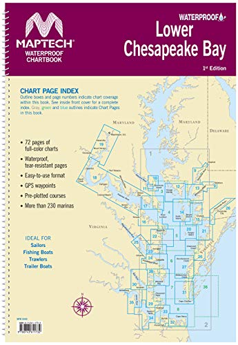


Maptech Lower Chesapeake Bay Waterproof Chartbook 1st Ed
Product ID : 46367228
Share Tweet
Galleon Product ID
46367228
No price yet.
Price not yet available.
Pay with


About Maptech Lower Chesapeake Bay Waterproof Chartbook
MAPTECH Lower Chesapeake has 72 pages of full-color navigation charts covering Chesapeake Bay from Solomons Island south to Norfolk, VA. including The Potomac River and other navigable tributaries. Features Waterproof, tear-resistant pages and an easy-to-use format with many GPS Waypoints and pre-plotted routes with labeled nautical mileage and magnetic bearings. Also includes information on over 230 marinas. Ideal for Sailors, Fishing Boats, Trawlers, Trailer Boats.


